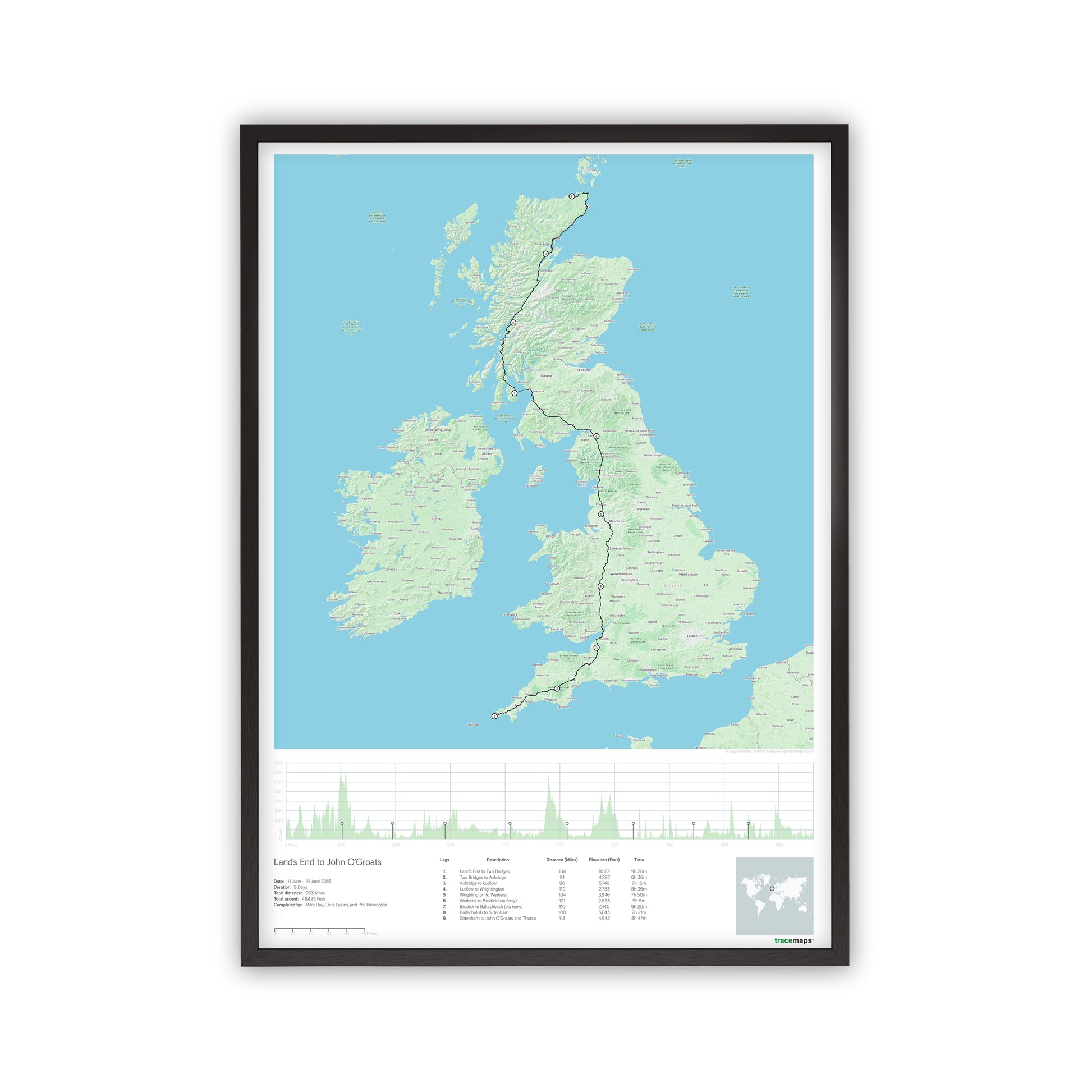
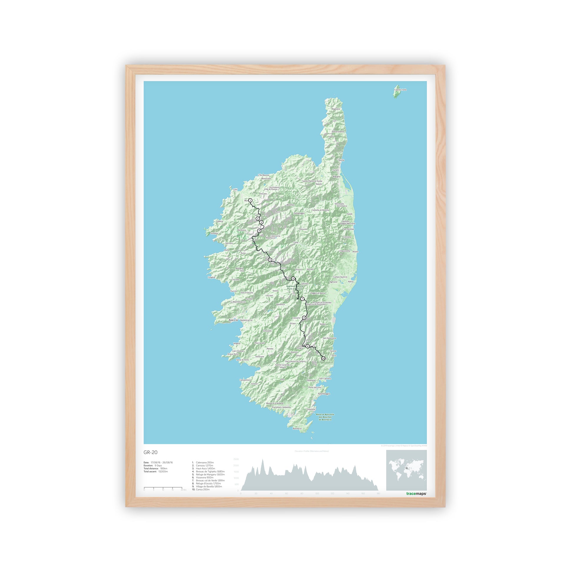
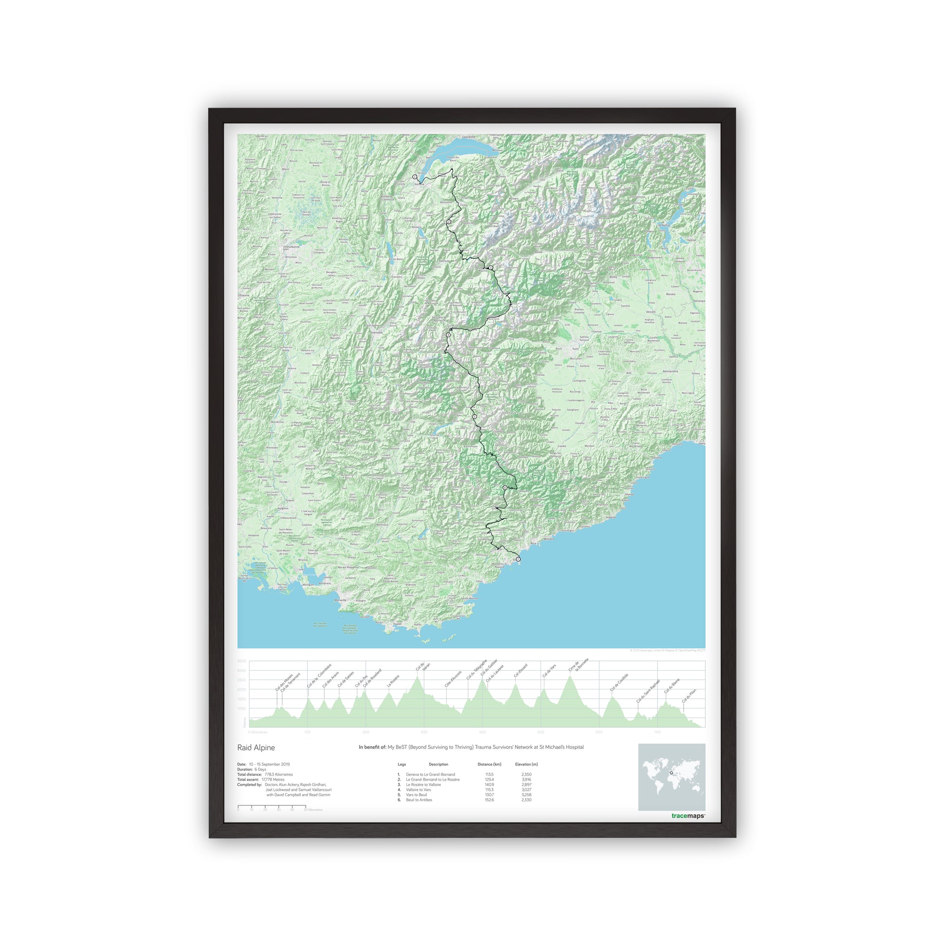
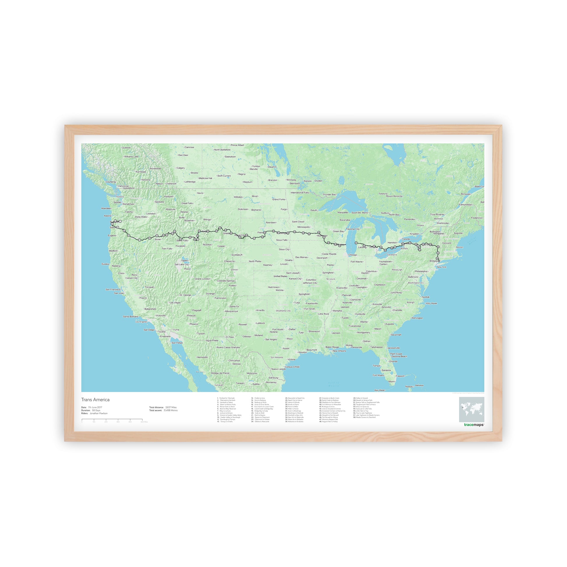
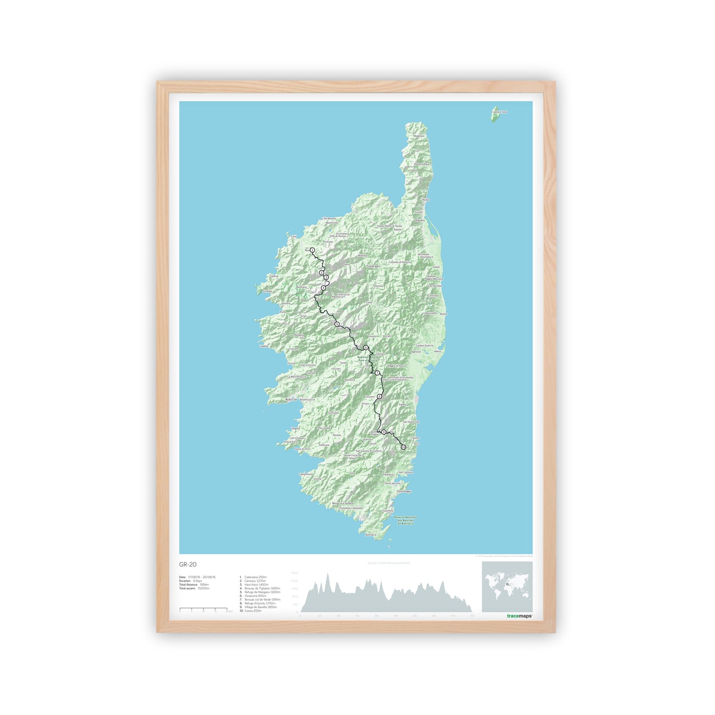
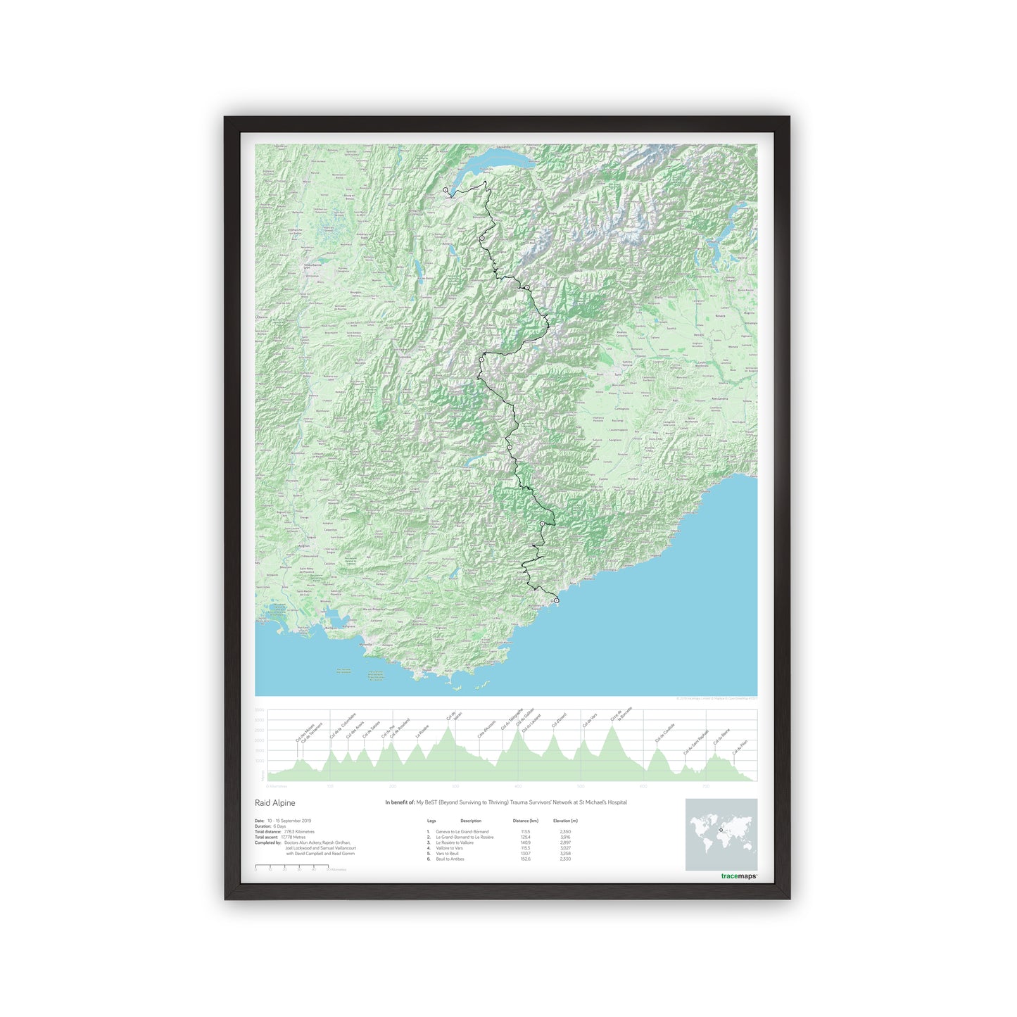
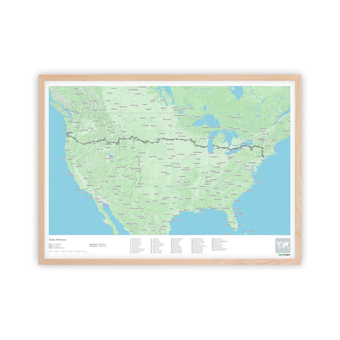
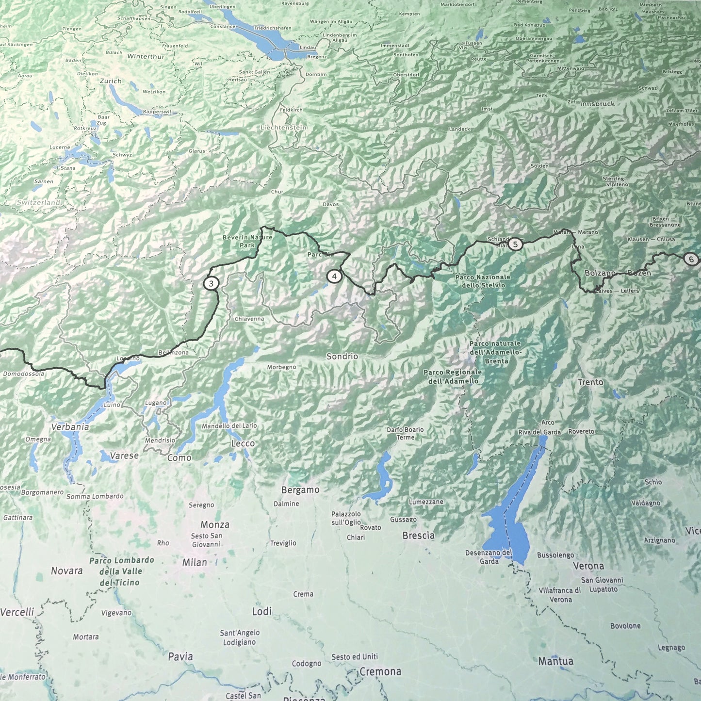
Capture your multi-day adventure with a bespoke route map print, personalised from your own GPS data.
Upload the GPX files for each stage of your journey. If your activities are saved in Strava, export the GPX files from Strava and upload them here.
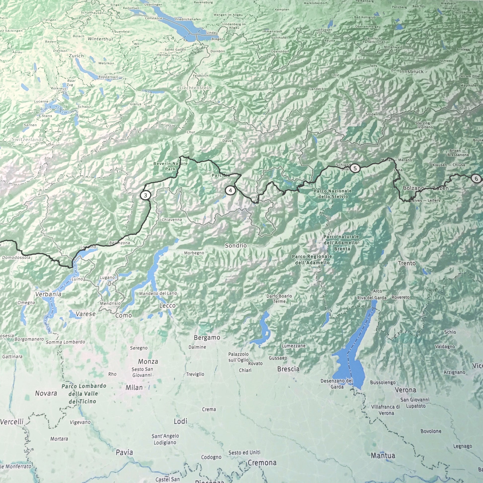
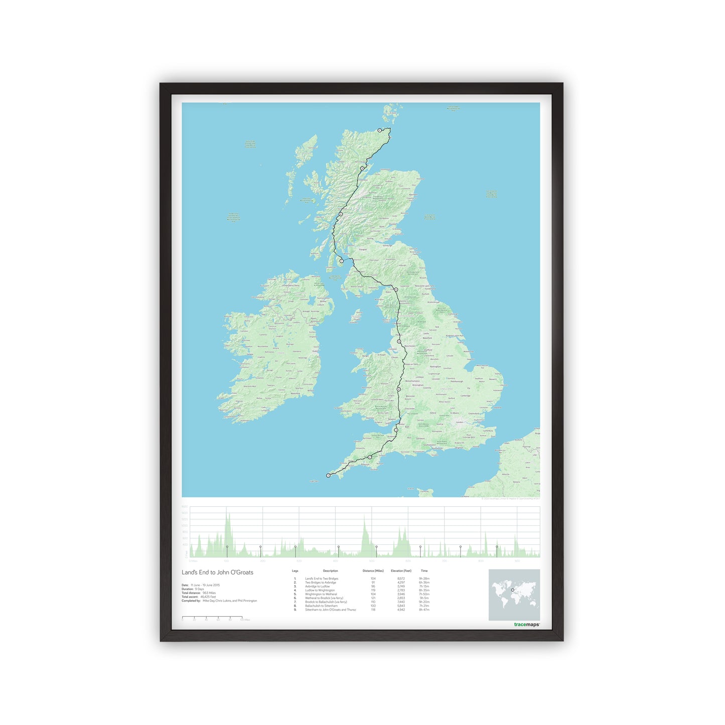
Using GPS data we draw your exact route over our detailed base map, which accurately depicts the terrain that has been covered. We then crop and zoom the image to perfectly fit the location and scale of the journey, anywhere in the world.
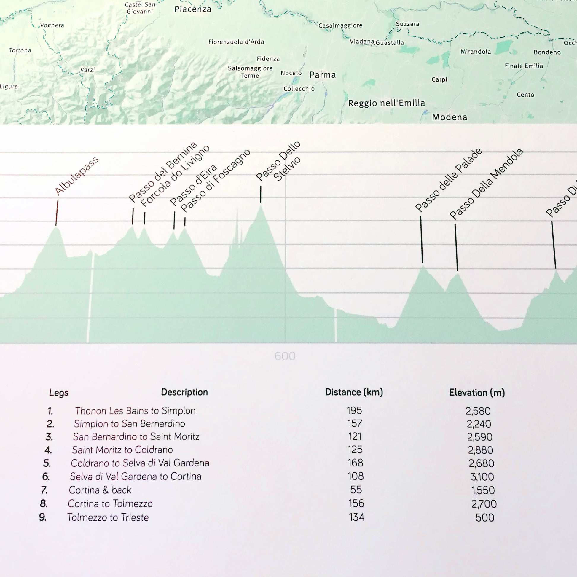
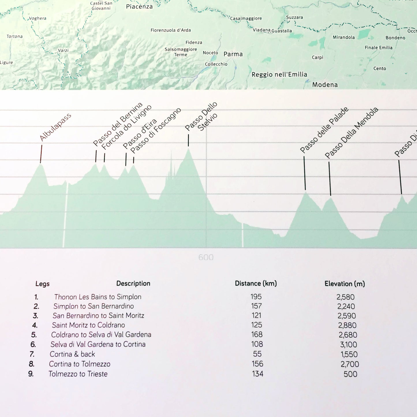
We identify the start and finish locations for each day, both on the route and in the legend, and incorporate other journey statistics. An elevation profile can also be drawn. All the elements are brought together to create a truly unique memento.
Whether it is a coast to coast, a week in the Alps, a thru hike or a long tour, every day is drawn on one map.
We offer the following sizes as standard, or you can complete a custom enquiry if you would like another size.
● A3 (297 x 420 mm)
● A2 (420 x 594 mm)
● A1 (594 x 841 mm)
In addition to the above:
● Upload the GPX files for your journey
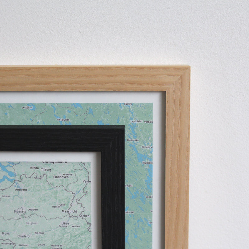
● Prints can be framed in black grain or natural ash
● Maps are printed on archival quality paper with fine art inks
● UK postage and packaging is included in the price